Hamelin Boulders, named after the French Minister of the Navy in 1858 by Captain JB Desparmet
Erub (Darnley Island)
Japanese Divers' Graves
Darnley Deep, Darnley Island from Kaliko Passage
Talab, unique rock
Black Coral, Kaliko Passage Darnley Deep 25 m.
The West passage has a depth of 90 m.
Zuizin (Halfway Island)
Tobin Cay, named by Lt William Bligh after one of his officers.
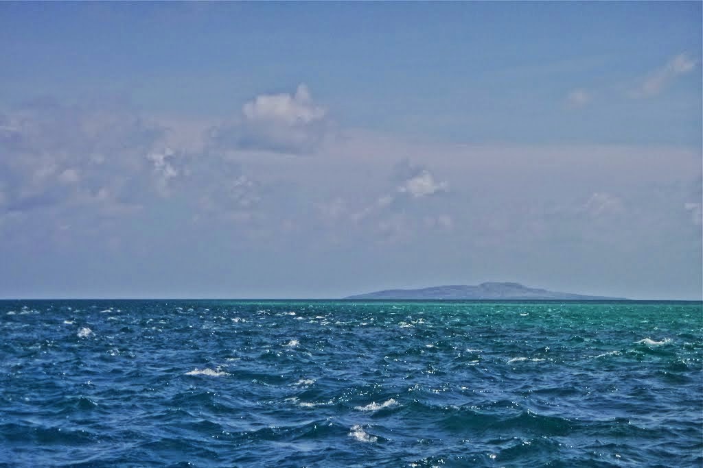
Stephen Island (Ugar) in the distant background
The weather side of Kodall Island
Darnley Island from Nepean Island
Yorke Island
Jardine River Ferry
Raine Island
1844 Convict-built navigation beacon
Murray Island (Mer)
A wrecked yacht on the fringing reef
Washed-up Light-Vessel CARPENTARIA
Originally towed from Scotland in 1926 & anchored at Carpentaria Shoal 52km west of Cape York
St Paul Village, Moa (Banks Island)
Masig (Yorke Island), Marsden Island in background
Thursday Island
Mer (Murray Island)
Stone fishtraps
Cumberland Passage
Dauar & Waier, the semi-submerged rim of a volcano
Jardine River, remnants of the bridge at the Telegraph Line Crossing
Honeymoon Island (Waiweer), former Pearling Station
Thursday Island Diver Cemetery, 1000 or more Divers are laid to rest here
Honeymoon Island (Waiweer)
Saibai Island
Tudu (Warrior Island) & Canal Mauvais
Mabuiag (Jervis Island) Talab
Albany Pass, looking south
Ussher Point
Long Island (Sassie)
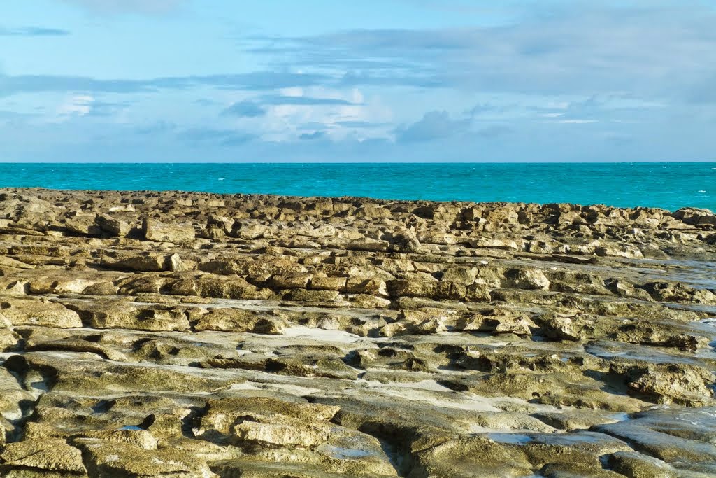
Lava formation
Bet Reef (Bara Maz)
The Wreck of the WONGALA (1980)
Goode Island
The wreck of the WILLIAM FAIRBAIRN 1899
Alpha Rock north of Adolphus Channel & Cape York
Horn Island Cargo Wharf
The main cargo distribution point for the Torres Strait
Mabuiag (Jervis island)
At 450 m the shortest airstrip in Torres Strait
Tuesday (foreground) & Wednesday Islands
Lowry Cay
Coconut Island (Puremar, Poruma) situated on the Great North East Channel (Central Island Group)
Dove Island Ului
Saibai is the only inhabited Island in Torres Strait
which doesn't have an English name. 4 km off the New Guinea coast.
Western Island Group. Naghir, Peenacar, Moa, Gettulai, Sauraz & Ulu.
Sunset viewed from Sue Island (Warraber)
Thursday Island, MV AUSTRALIA FAIR the ferry between Horn Ngurupai & Thursday Island (Waibene)
Jervis Reef
A clear indication of the very strong tidal streams
Murray Island (Mer) A section of the many kilometres of fishtrap walls built by generations of islanders.
North West Reef (Eastern Extremity)
Hammond Rock in Prince of Wales Channel, Hammond Island on left, Goode Island right rear, Friday Island in amongst the lot & Prince of Wales Island in the background
Horn Island water-filled gold mine
Boat Channel Horn Island (Ngurupai), Entrance Island (Zuna) & Prince of Wales Island (Muralug)
Yorke Island (Masig)
Bet Island & Bet Reef, WONGALA Wreck
Darnley Island (Erub)
Mt Adolphus Islands (Muri)
Western Islands
... and that's enough sightseeing for the moment! Hubert Hofer needs a rest, a long nine-month rest, and what better place to have it in than Mopah Airport in Merauke!
☺
More photos on Hubert's website www.northpic.com.au